
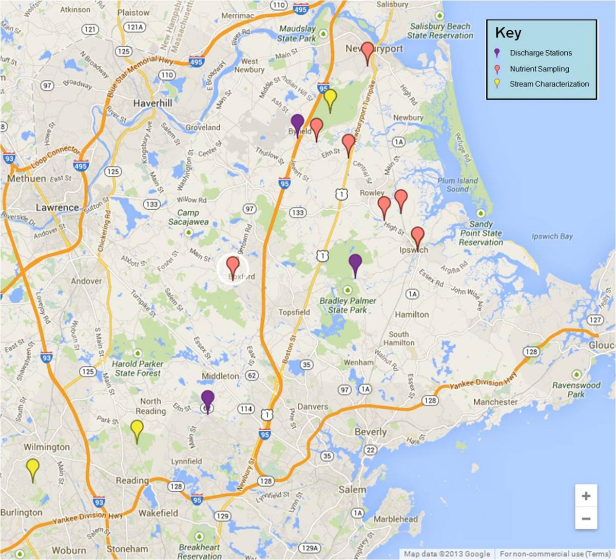
The Rowley River watershed is small and drains directly into Plum Island Sound. The river has one wastewater discharge site and no mainstem dams. This watershed is entirely low lying coastal plain and predominantly salt marsh. There is some rural-residential development within the upper watershed.
The Ipswich River watershed is the largest and most developed. The watershed is primarily coastal plain. There are three mainstem dams, one major water treatment plant in the town of Peabody as well as eight smaller wastewater discharge sites.
Almost 25% of the Ipswich watershed is set aside as conservation land, the rest is primarily suburban-residential. Boston bedroom communities have been rapidly encroaching along the southern portion of the watershed. The USGS maintains two gauging stations on the Ipswich. The one at the mouth of the river has a mean discharge of 249 cfs. Dam samples from the Parker River and Ipswich River have been taken approximately monthly since 1993, and at the Egypt River since 1999 to determine loading to the Plum Island estuarine system from the watershed.

Parker River Dam, off River St., Newbury, MA during a low flow
(point mouse over for high flow)
photos by Wil Wollheim